This post took me longer than expected to write (begin, halt, resume). We have been quite busy since we returned home from 1 week camp in June. So, (hmm) it’s three months late for this to be up.
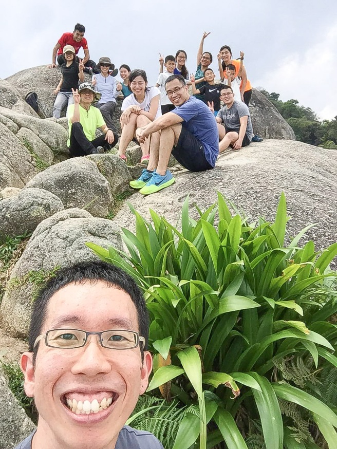
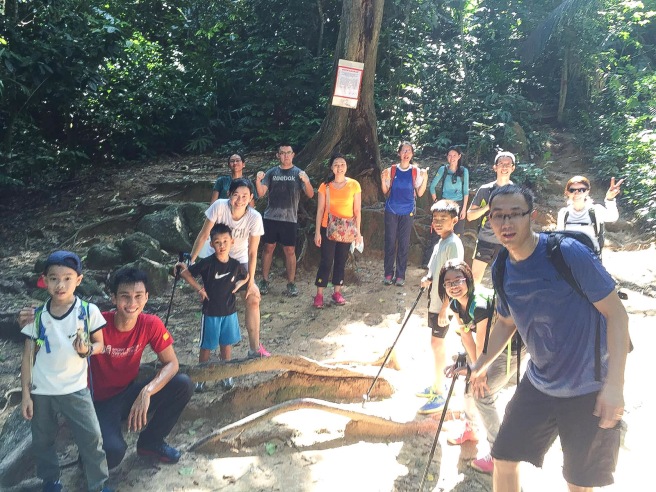
A pre-camp trek organised early this year between two families but it grown into a group of 15. We were glad that many joined us for this short trekking trip to Gunung Datuk, a 884m mountain located at Negri Sembilan.
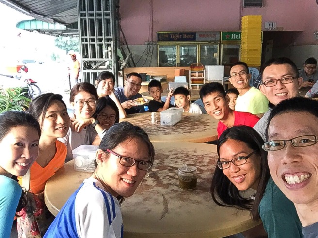
We started off from home pretty early that Friday, stopped at Yong Peng for breakfast before continuing our journey to Negri Sembilan.
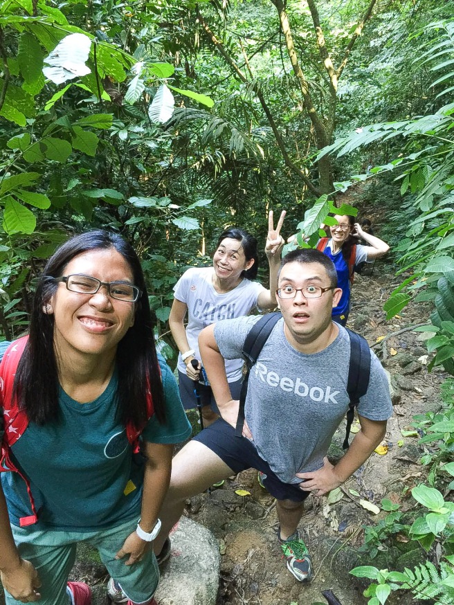
While waiting for our wantan mee and otah, let’s have wefie! Breakfast was good. I’m not sure what’s the name of this coffeehouse but food was good (introduced by Lem who loves food)
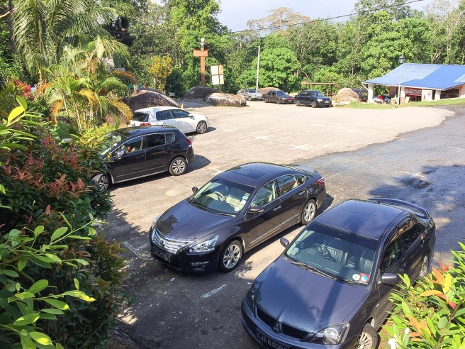
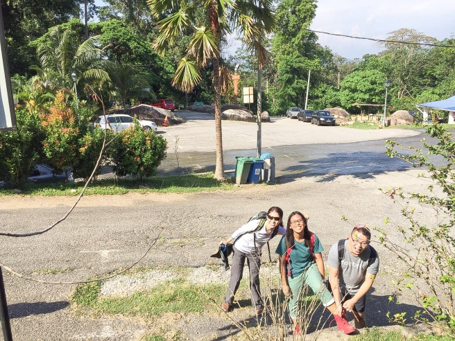
We arrived at the foot of Gunung Datuk around 10am. The place is pretty decent with proper parking space for cars, no buses are allowed as the narrow and winding road doesn’t permit big vehicles.
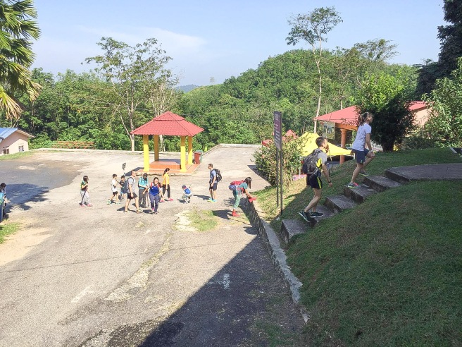
A quick visit to the washroom before we trek the mountain.
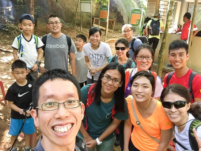
What a sweet couple! I just had to take a quick photo with them before we set off. Glad that I did! 😊
Registered ourselves with the local attendant before we were allowed to move farther in. At this moment, we weren’t attack by any mosquitoes (yet). The uncle made fire, burned some dried leaves and branches to keep the mosquitoes away.
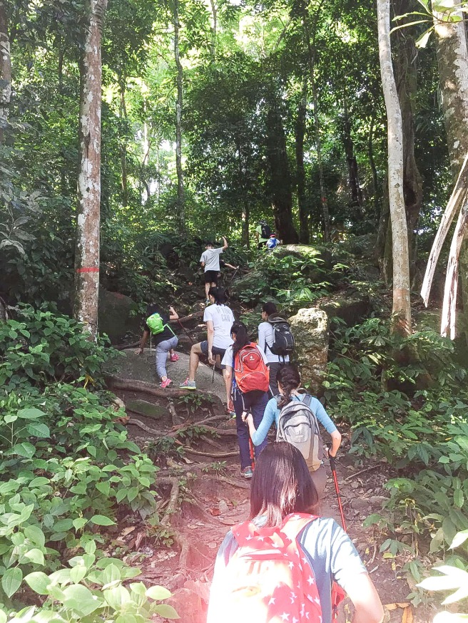
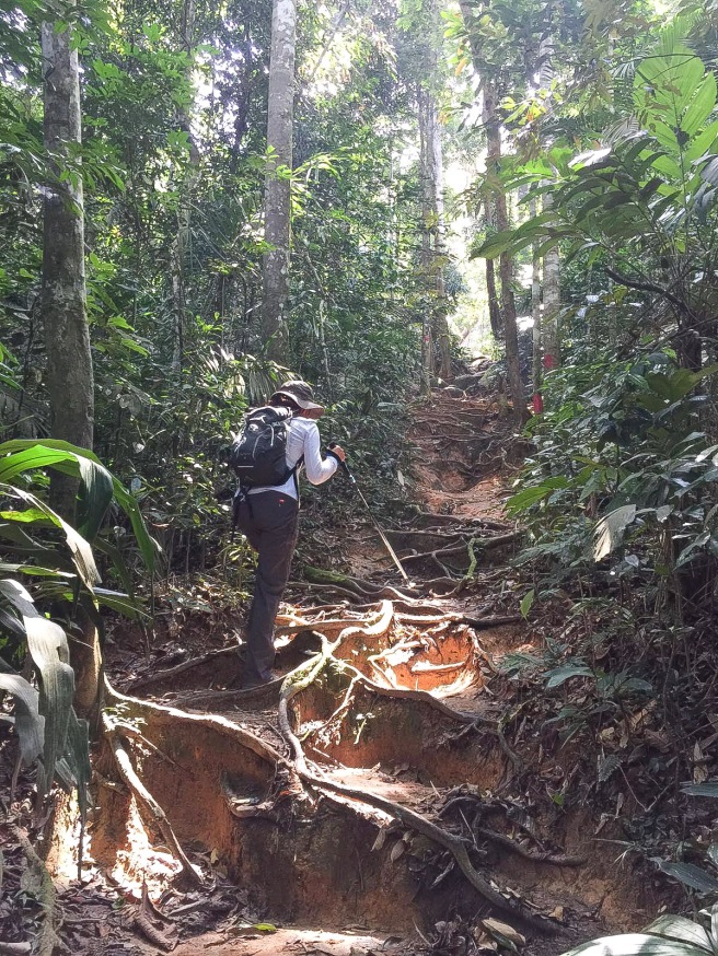
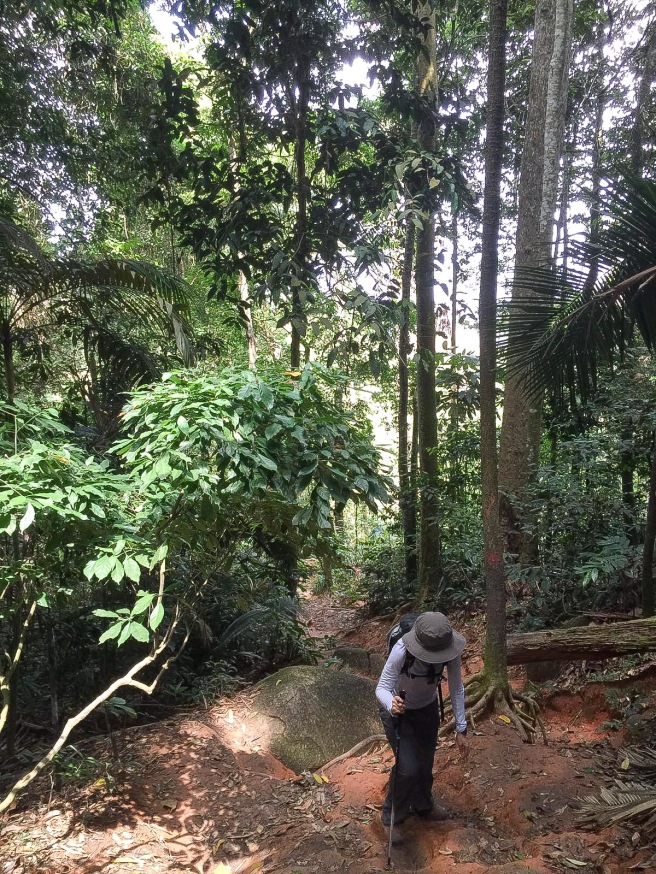
Here we go! It was quite a gentle ascent when we first started.
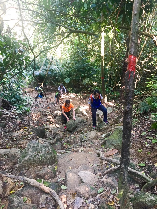
But gradually, we met with some pretty steep slopes that most of us needed to find our balance through holding the rope. It’s not just one short section, if I remembered correctly, it’s 4-5 sections with sharp rocks which we had to climb over and trekked up. Hiking poles may not help at this point and may be too handful to handle.
One thing that kept all of us going without short break was the mosquitoes. I’m not talking about a few of them. It’s a swarm of them 😓
Resting at mid way but we didn’t stop for more than 5 mins and we had to move on because we were surrounded by the commando mosquitoes that bit through our clothing. (A friend had 80 mosquitoes’ bites! 😨)
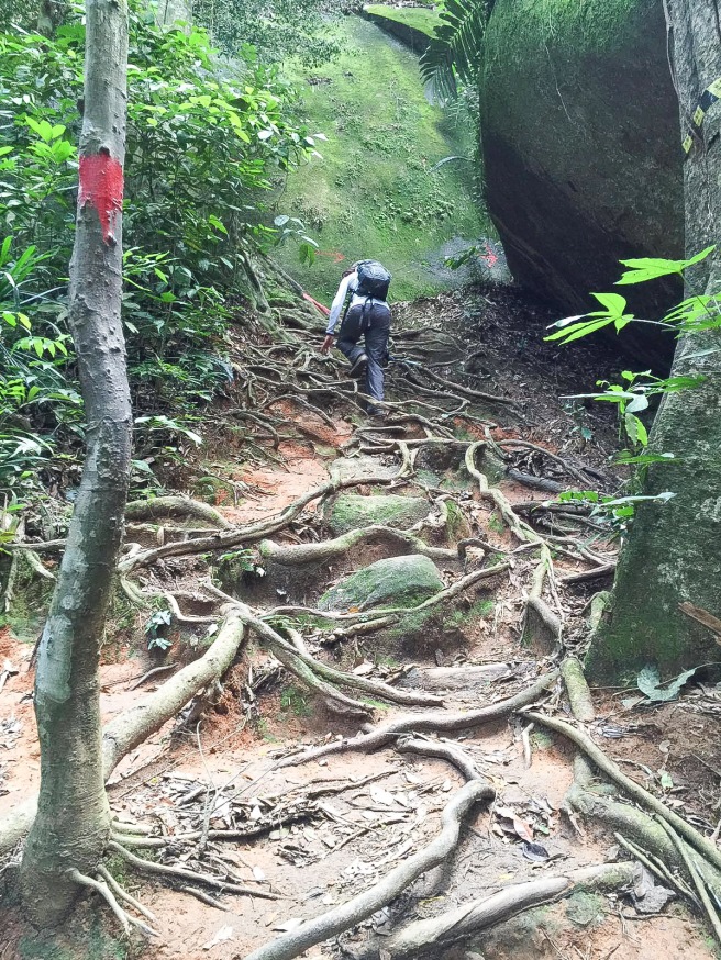
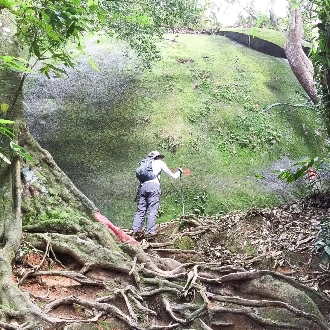
Which way to go? Just follow the red paint marking and you will be on the right track. The marking can be on the tree trunk or big boulder.
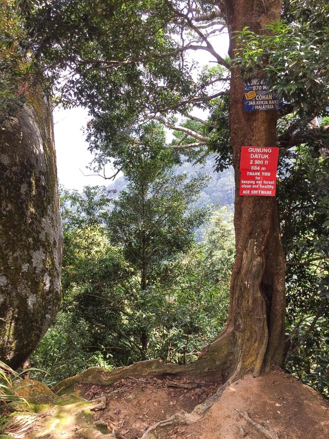
When you see this sign, you are near the summit ✌
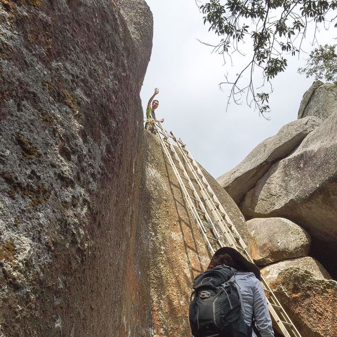
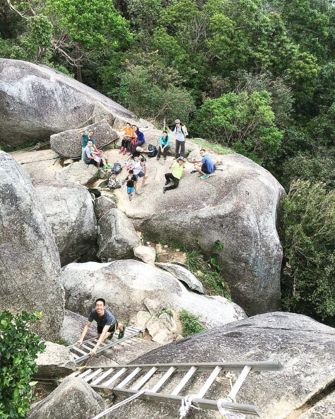
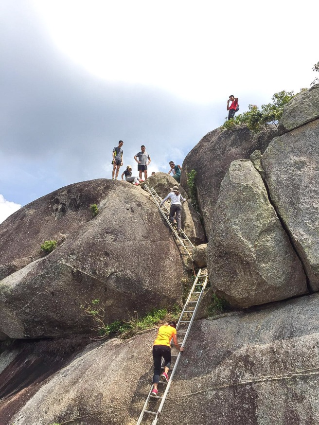
Our kids went ahead of us following the young adults and surprised us with their bravery in attempting the ladder leading just before the summit. Before this trip, we were saying that they (kids) may not be able to make it. Oh boy, we were wrong! Don’t belittled the little ones especially when they were inspired by all the older brothers and sisters.
The third set of ladders to climb to reach the summit.
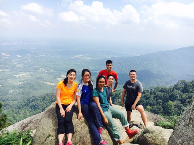
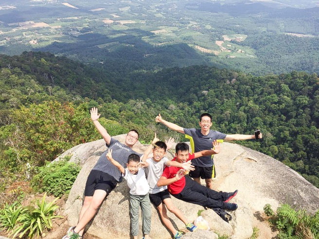
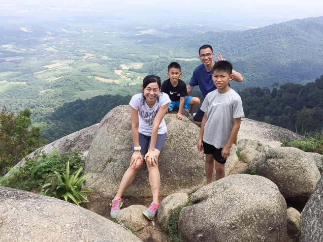
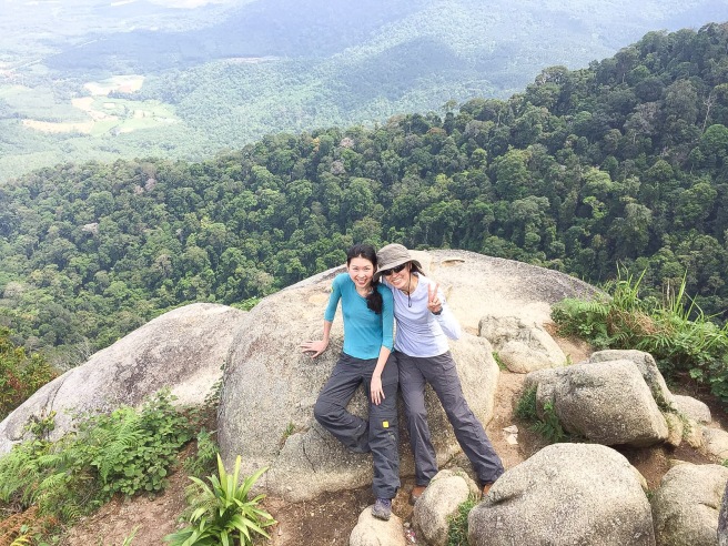
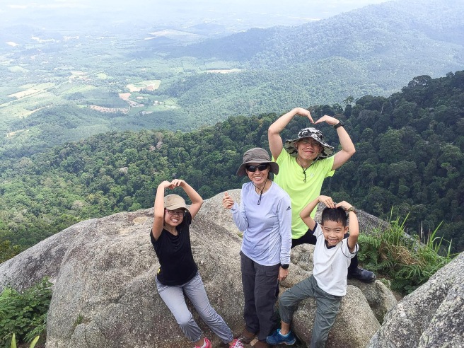
We had our packed lunch up at the summit. Took some photos, enjoyed the scenery, had a few scares with kids moving about. The kids aren’t afraid and I think I had a few heart attacks seeing them moving about so fast (they don’t seem to know what’s danger). I need to learn to give them space to grow after telling them all the dangers involved. They thrived better than we thought.
We made our way down when it started to drizzle a bit. No photos taken while on our way down as it was pretty steep. When you think it’s steep to trek up, it’s steeper when you trek down.
Take note! Accident can happen when you are not careful especially when it is steeper, losing our balance is one of the factors, when tiredness sets in. Weak knees, sharp rocks and loose soil can cause one to slip and get cuts.
Don’t rush down, keep your focus, go slow and you will make it down safely.
Having a trekking poles to me at this point helped my knees and find the balance as I moved down.
I’m truly thankful for safety, for fellowship, for friends who helped watch over our kids as they prefer to go with them instead of following old folks like us 😎
“It wouldn’t have been the same if we did it individually.” (Truly, I agree!)
😊😊😊

